Hey Everyone,
It’s possible that this is well-known, and if so, apologies! But I found what I think is a superb tool from the United States Geological Survey (USGS). They provide an interactive web-based map viewer with all sorts of layers and measurement tools.
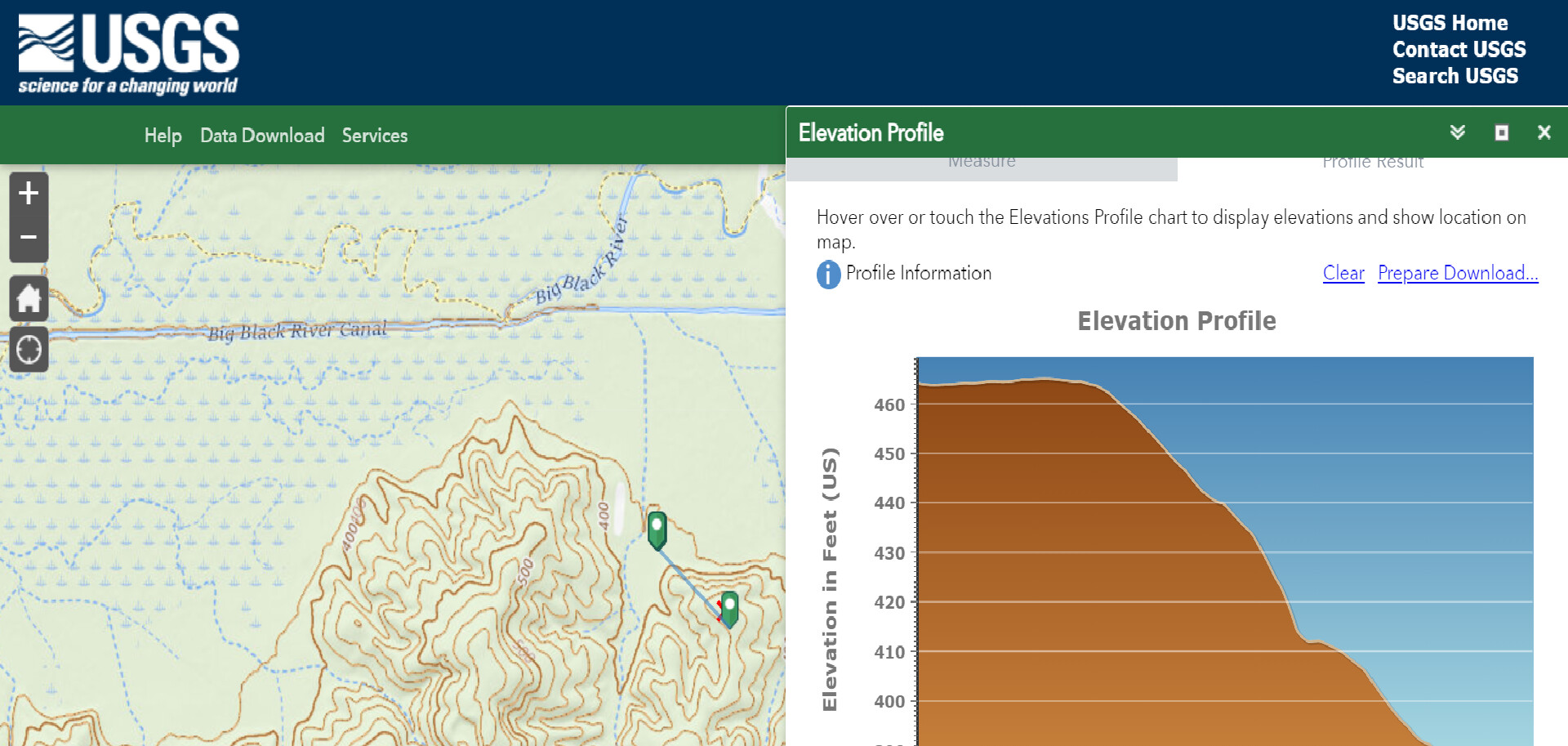
For example, you can add the 3D elevation contour lines and actually plot the elevation profile between two points on the map:
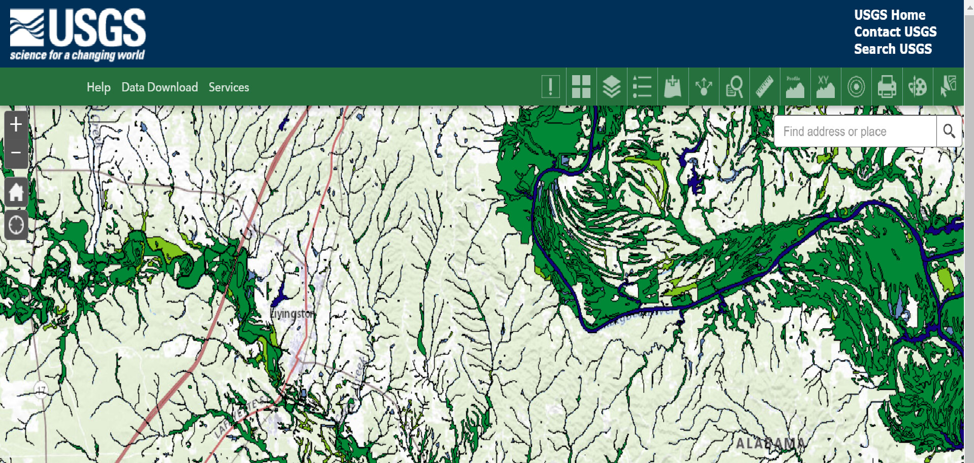
Another layer option is a wetlands overlay from Fish and Wildlife Services (FWS):
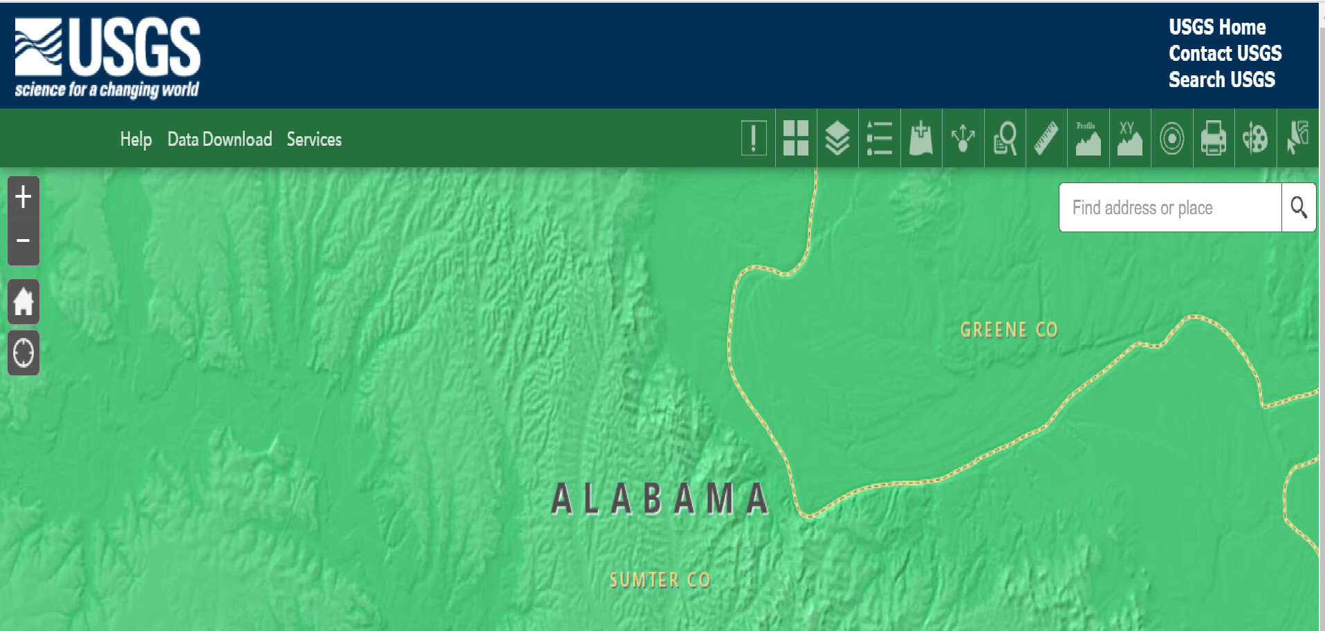
Yet another is the ability to add county lines and shade hillsides to actually see details of the elevation changes:
There are several more layers you can apply. I’m very impressed with how easy to use this tool is, and it seems like it could be very useful to a lot of you for helping in the due diligence process.
You can access the map here:
https://apps.nationalmap.gov/viewer/
Enjoy!
Ryan