I have a question related to the one below. Sometimes there is a stretch of road with a lot of trees and part of that is a vacant parcel you are interested in. On the GiS map you can see the property outlines, but if you are standing in front of the land there is nothing to tell you where “yours” begin. Sometimes there isn’t even a house across the street that can provide a rough guide. My question is how you personally can see where the property lines are. More importantly, if you buy the lot and send out potential buyers, how will they be able to tell? They can see the outlines on the GIS map and you can give them the coordinates, but how meaningful is that if someone is just staring at a stretch of land? Do you need to have it surveyed and physical stakes put into the ground?
That’s a great question. Every land investor has to figure this out at some point because there are plenty of properties like this with no clear markings.
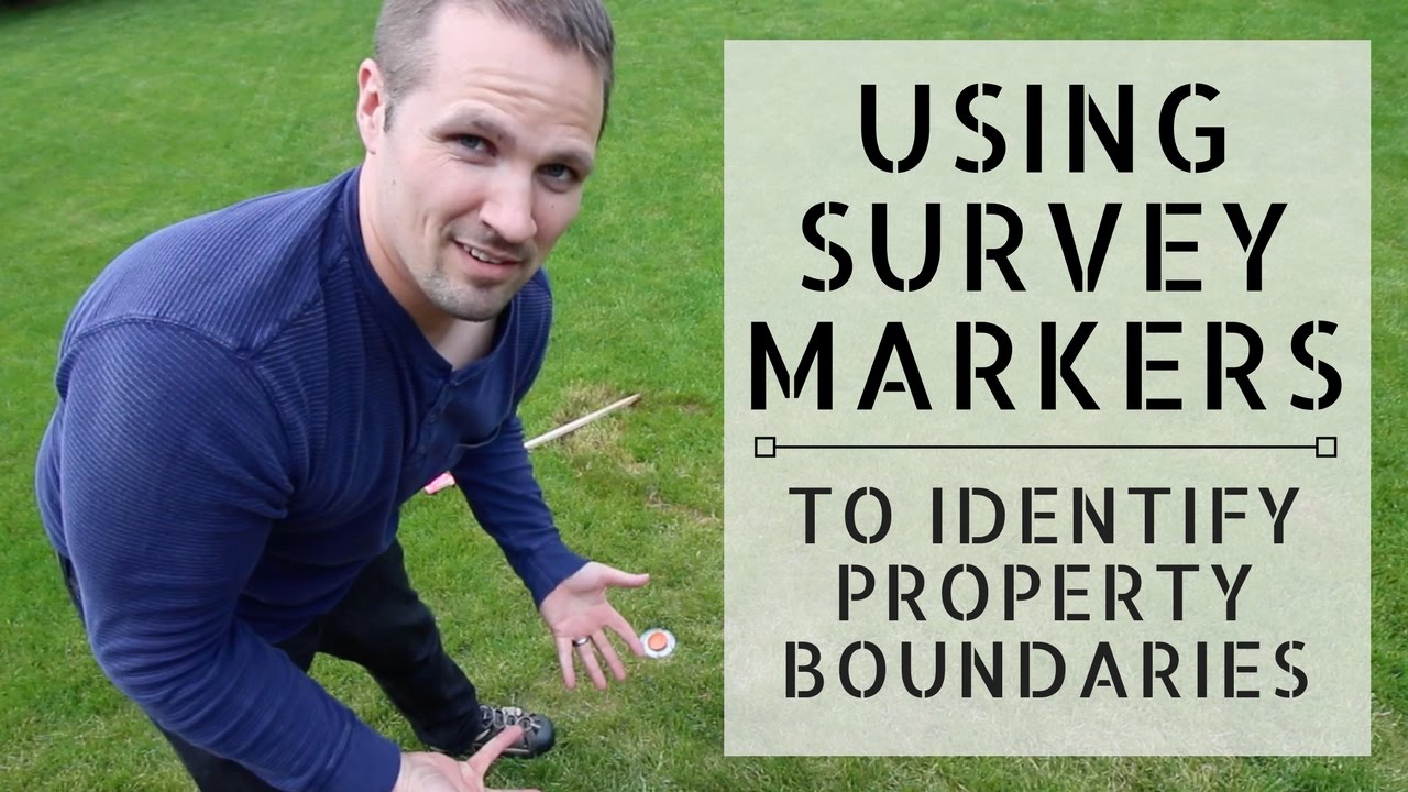
If there is no reference point anywhere nearby and if precision matters, the only way to be 100% sure is to order a boundary survey, where the surveyor visits the property and stakes out the corners. Once the corners are staked, you can put some marker there to make it more permanent(ish). I made a video about this years ago. It’s unlisted on YouTube, but you can find a link to it here.
In my experience, it’s rare that I can’t find ANY landmarks to go by. Usually there is something if you look hard enough and get creative… but sometimes you just have to do it the proper way by ordering a survey.
Thank you so much Seth. This is very helpful.
