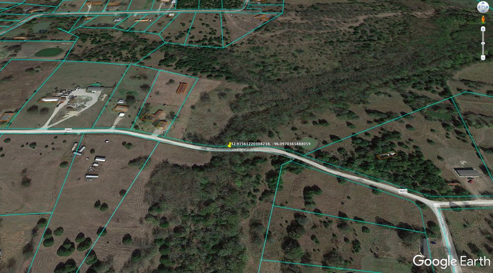
@scottbraden when you say “tiny piece of land,” are you referring to the bridge?
It appears to be part of a road. Most backcountry roads are either owned by the county or by a private HOA.
Do you know if there’s an HOA that governs the area? You could click on any of those surrounding parcels and get a Property Detail Report in DataTree or PropStream. Check the legal description and see if there’s any mention of a subdivision name. You could also try to pull a title search and see if any HOA docs show up (though once you get this far, we’re talking about spending money, so you’d probably want to have a contract in hand).
@retipsterseth thanks Seth, yes I mean the bridge itself. From looking at the county parcel map, the road and the bridge are separate from the adjoining parcels.
If it was a public road, that means the county or the state or city owns it.
But if it’s private, it’s either a deeded easement across the other parcels, or somebody owns it as a parcel.
This particular area has no HOA, it’s just an old farmer who subdivided years ago and everything is done very casually, country style.
It’s with title now and I’m asking them to figure it out.
Thanks,
Scott
1 Like